Short answer
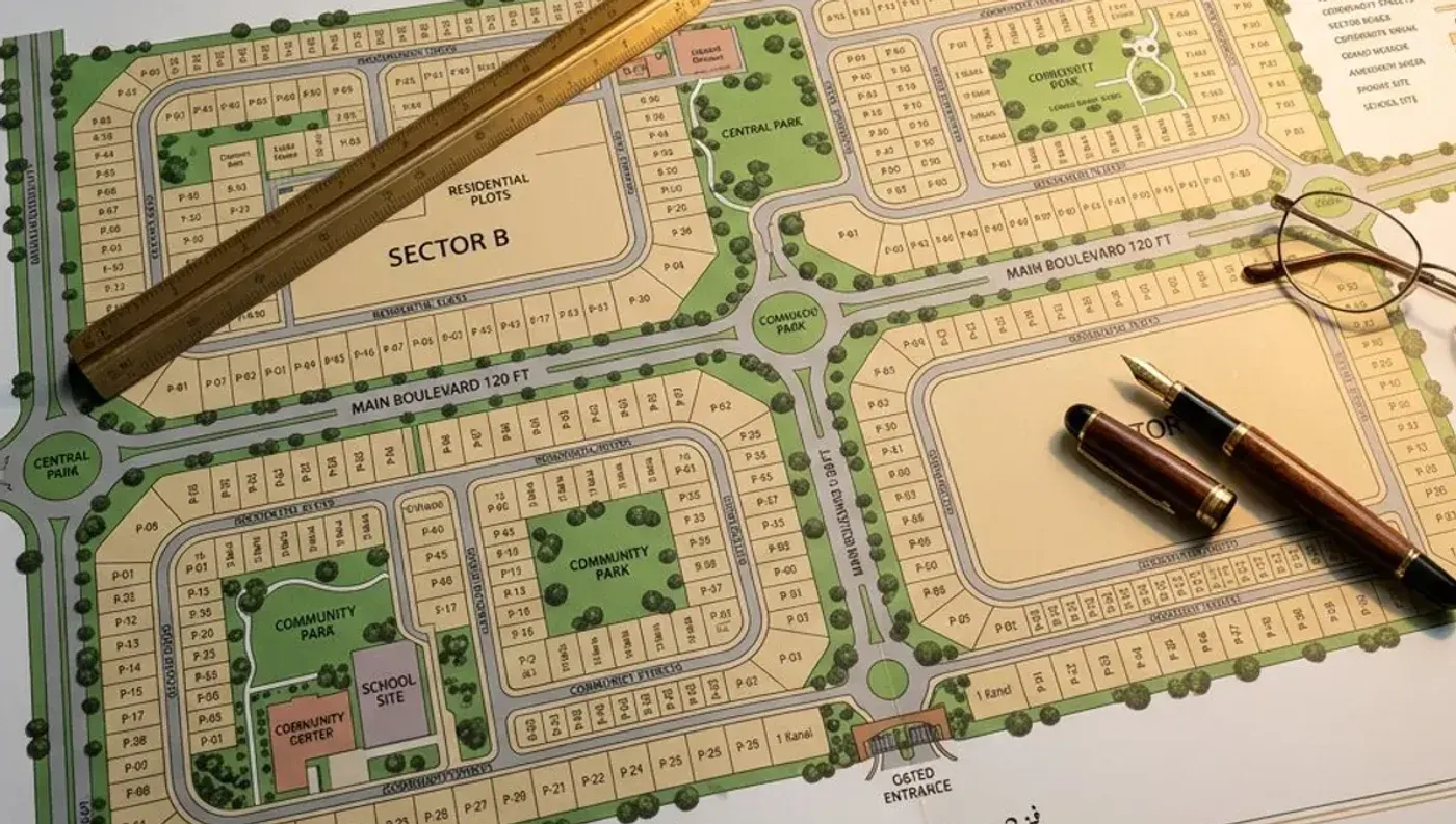
A housing society map (master plan) shows how the scheme is divided into phases, sectors or blocks, and within them numbered plots of standard sizes, with roads, parks, mosques, schools and commercial areas marked. To read it, locate the block, find the plot number, then check the plot's size, road width, orientation and what sits next to it.
Step-by-step: reading a society map
- Find the legend. It explains colours for residential, commercial, parks, graveyards, schools, utilities and future or unacquired land.
- Locate the phase and block/sector. Large schemes are split into phases (e.g. DHA Phase 6) and then blocks or sectors (A, B, C…). The same plot number can exist in several blocks, so the block is part of the address.
- Find the plot number. Plot numbers usually run in sequence along a street; corner plots often carry a separate mark.
- Check the plot size. Maps label sizes (5 marla, 10 marla, 1 kanal, or square yards in Karachi). Confirm which marla definition the society uses — see the marla, kanal and square feet guide.
- Read the road width. Wider roads (e.g. 60–100 ft boulevards) mean better access but more traffic; 30–40 ft streets are quieter.
- Note the surroundings. Park-facing and corner plots usually carry a premium; plots beside grid stations, nullahs or graveyards are often cheaper.
- Check status. Some areas on a master plan may be undeveloped, under acquisition or 'future' land. Confirm possession status with the society.
Common terms on Pakistani society maps
| Term | What it means |
|---|---|
| Phase | A large development stage of the scheme, often with its own possession timeline |
| Block / Sector | A sub-division inside a phase, named by letters or numbers |
| Corner plot | A plot on two roads — more light and access, usually priced higher |
| Park-facing |